Best Management Practices
- Jump to: Wetlands | Filter Strips | Grassed Waterways | Crop Rotation | No Tillage | Strip Cropping | Cover Crops
Wetlands
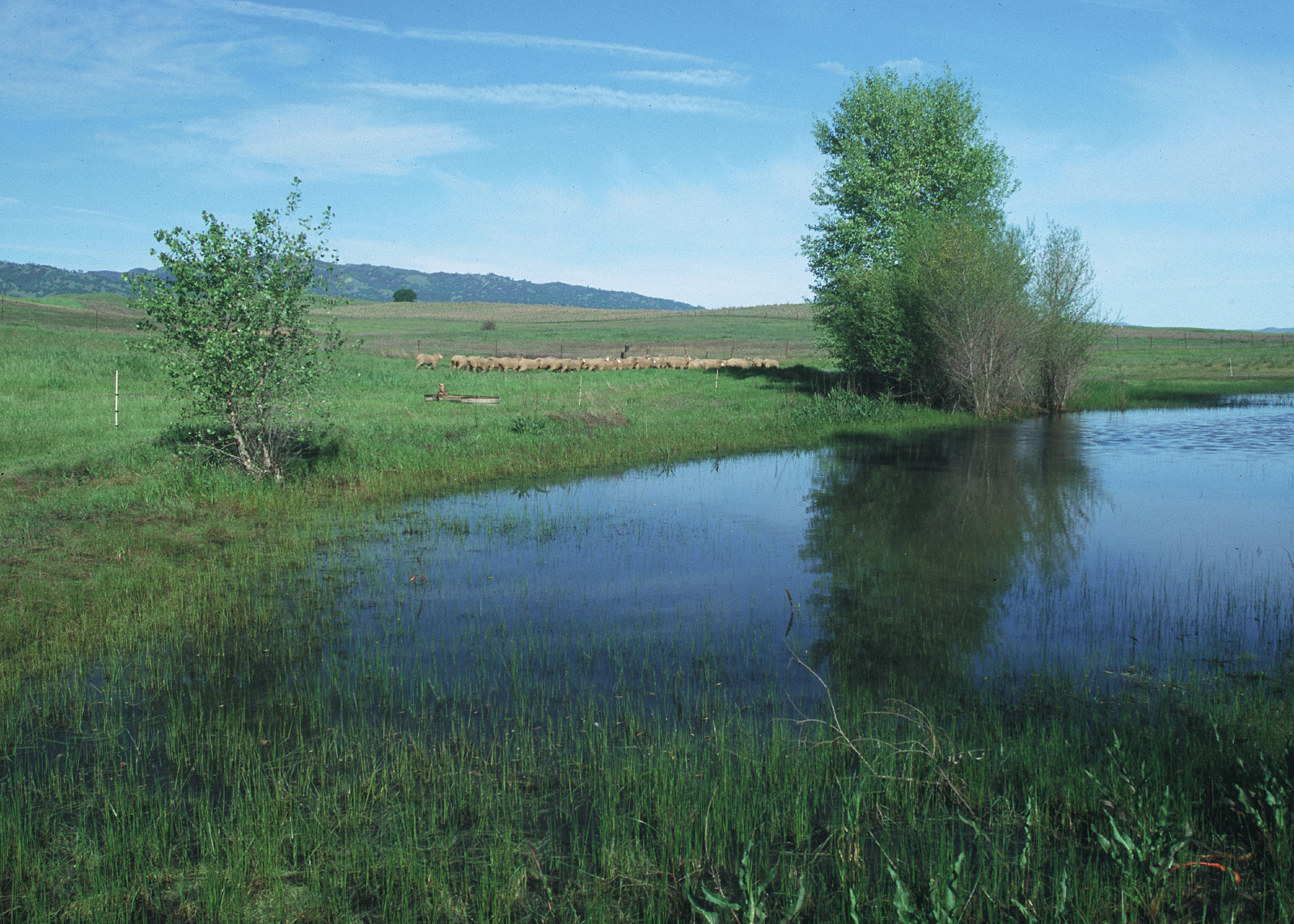
Photo credit: USDA-NRCS
Wetlands are unique ecosystems that often occur at the edge of aquatic (water, fresh to salty) or terrestrial (upland) systems. They may be wet year-round, wet during certain seasons, or wet during part of the day. Corps regulations for implementing the federal Clean Water Act define wetlands as: “those areas that are inundated or saturated by surface or ground water at a frequency and duration sufficient to support, and that under normal circumstances do support, a
prevalence of vegetation typically adapted for life in saturated soil conditions. Wetlands generally include swamps, marshes, bogs, and similar areas.”
In addition to bogs and swamps, wetlands include tidal marshes, prairie potholes, seagrass beds, forested wetlands, and seasonally ponded sites, such as vernal pools. Some of these wetland types, such as seasonal wetlands that are dry much of the year, may not always appear to be wetlands. Although wetland types are diverse, they all possess several ecological characteristics that distinguish them from upland or other aquatic ecosystems. Specifically, wetlands are characterized by unique hydrologic, soil (substrate), and biotic conditions. The hydrological regime, which is determined by the duration, flow, amount, and frequency of water on a site, is typically the primary factor driving the other ecological elements of the system. A site has wetland hydrology when it is wet enough to produce soils that can support hydrophytic vegetation (plants that are adapted to waterlogged environments). Wetland substrates are called hydric soils, meaning they are saturated with water for part or all of the year. Saturated soils become anaerobic (without oxygen) as water stimulates the growth of micro-organisms, which use up the oxygen in the spaces between soil particles. When soils become anaerobic, they change significantly in structure and chemistry. These factors all make wetland soils stressful to terrestrial plants.
Wetlands are classified into the following main types:
Marine
Open ocean overlying the continental shelf and associated high-energy coast line. Examples of wetland types within this system are subtidal and intertidal aquatic beds, reefs, and rocky shores.
Estuarine
Deepwater tidal habitats and adjacent tidal wetlands that are usually semi-enclosed by land but have open, partially obstructed, or sporadic access to the ocean and in which ocean water is at least occasionally diluted by freshwater runoff from the land. Examples of estuarine classes include subtidal and intertidal emergent wetlands, forested wetlands, and rock bottom.
Riverine
Wetland and deepwater habitats contained within a channel with two exceptions: 1) wetlands dominated by trees, shrubs, persistent emergent plants, emergent mosses, or lichens, and 2) habitat with water containing ocean-derived salts in excess of 5 ppt (parts per thousand). Rivers and streams fall within this system and subsystems include tidal, perennial, and intermittent watercourses.
Lacustrine
Wetlands and deepwater habitats with all of the following characteristics: 1) situated in a topographic depression or a dammed river channel, 2) less than 30 percent areal coverage by trees, shrubs, persistent emergent vegetation, emergent mosses, or lichens, and 3) total area exceeds 8 hectares (20 acres). Lakes typify lacustrine wetland systems.
Palustrine
All nontidal wetlands dominated by trees, shrubs, persistent emergent vegetation, emergent mosses or lichens, and all such wetlands that occur in tidal areas where salinity due to ocean-derived salts is below 5 ppt. This system also includes wetlands lacking such vegetation if they are less than 8 hectares, lack wave-action or bedrock shoreline features, and are no deeper than 2 meters at low water in their deepest spot. Examples include ponds, bogs, and prairie potholes.
Benefits of Wetlands to Landowners and Producers
Flood damage reduction: Wetlands intercept runoff and store stormwater, thereby changing rapid and high peak flows to slower and smaller discharges over longer periods of time. Because it is usually the peak flows that cause flood damage, the effect of wetlands is to reduce the danger of flooding. A classic study by the Corps in the Charles River Basin in Massachusetts estimated that the loss of 3,400 hectares (approximately 8,100 acres) of forested wetlands would increase downstream flood damage, costing millions of dollars annually.
Erosion control: By dissipating wave energy and stabilizing shorelines, wetland vegetation buffers the adjacent upland from wave action and intensive erosion.
Water quality:Wetlands play a major role in maintaining water quality. Wetlands absorb excess inorganic and organic nutrients such as farm fertilizers and septic system runoff, filter sediments such as eroded soil particles, and trap pollutants such as pesticides and some heavy metals. These materials can seriously degrade the quality of groundwater and surface water resources, but wetlands trap and hold them, “recycling” some of them within the wetland system.
Aesthetics and recreation: Many recreational activities take place in and around wetlands. Hunting and fishing are popular activities associated with wetlands. Other recreational activities in wetlands include hiking, nature observation and photography, canoeing, and other boating. Many people simply enjoy the beauty and sounds of nature and spend their leisure time near wetlands observing plant and animal life. Wetlands are also important places for outdoor study and for gaining an appreciation of natural history and ecology. Properties bordering wetlands often have higher property values than those that do not. Urban wetlands are typically some of the last remaining pieces of “natural habitat” providing residents some sense of wildness and open space.
References
The above text includes excerpts from the following documents and resources:
1. United States Environmental Protection Agency Wetlands Site (Click on this link for more details: EPA Wetland Site)
2. Indiana Department of Natural Resources report on the status of Wetlands in Indiana. For full report click here.
3. United States Department of Agriculture – Natural Resources Conservation Service: Report on CRP Practice CP27/28 (click here for more details).
Filter Strips
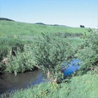
Photo credit: USDA-NRCS
A filter strip is an area of vegetation, generally located at the lower edge of a field, established for the purpose of removing sediment, organic material, and other pollutants from runoff and wastewater. Filter strips remove pollutants from runoff before the material enters a body of water. They also serve as a buffer between water and the fields above the water so that pesticides and other chemicals are not applied directly adjacent or into the water body.
Benefits of Filter Strips to Landowners and Producers
- Decrease maintenance.
- Enhance wildlife habitat.
- Provide additional income.
- Improve water quality.
- Increase aesthetic value.
- Reduce streambank cutting.
- Provide year long access.
- Increase safety.
References
The above text includes excerpts from the following documents and resources:
1. United States Department of Agriculture – Natural Resources Conservation Service: Cropland Management Systems (click here for more details).
2. United States Department of Agriculture – Natural Resources Conservation Service: Report on CRP Practice CP21 (click here for more details).
Grassed Waterways
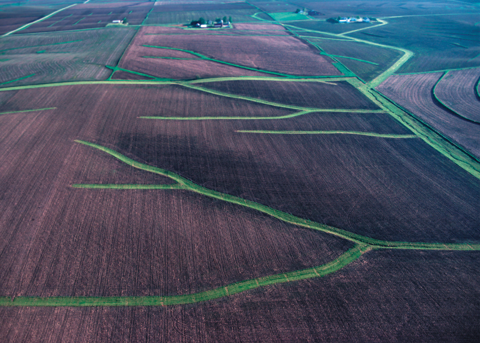
Photo credit: USDA-NRCS
A grassed waterway is a natural or constructed channel that is shaped or graded to required dimensions and established with suitable vegetation.Grassed waterways are used to convey runoff from concentrated flow without causing soil erosion, to control gully erosion, and/or to protect and improve water quality. Depending on the type of vegetation established, grassed waterways may also provide wildlife habitat for a variety of “farmland” wildlife such as quail, pheasants, and rabbits. The width of the grassed waterway depends upon several factors including the slope of the field, the soil type, the drainage area, and the conservation practices used in the field.
Benefits of Grassed Waterways to Landowners and Producers
- Excess surface water from natural drainage areas or constructed structures (e.g., terraces, diversions, etc.) can be safely disposed.
- Gully formation is inhibited by vigorous, dense vegetation.
- The vegetation also reduces pesticides and other soluble nutrients in surface water because of improved infiltration.
- Decrease in sediments and chemicals in surface water increases availability of dissolved oxygen for growth of aquatic life.
References
The above text includes excerpts from the following documents and resources:
1. United States Department of Agriculture – Natural Resources Conservation Service: Report on CRP Practice CP8A (click here for more details).
Crop Rotation
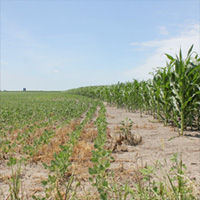
Photo credit: USDA-NRCS
This practice involves growing various crops on the same field in a planned sequence. The rotation usually involves growing forage crops in rotation with various field crops. Crop rotation also means that succeeding crops are of a different genus, species, subspecies, or variety than the previous crop. Examples would be barley after wheat, row crops after small grains, grain crops after legumes, etc. The planned rotation sequence may be for a two- or three-year or longer period.
Benefits of Crop Rotation to Landowners and Producers
- Reduced runoff and erosion.
- Increased organic matter.
- Improved soil tilth.
- Reduced pests.
- Fewer chemicals needed.
- Better moisture efficiency.
- Higher yields.
- Improved aesthetics and wildlife habitat.
References
The above text includes excerpts from the following documents and resources:
1. United States Department of Agriculture – Natural Resources Conservation Service: Cropland Management Systems (click here for more details).
No Till
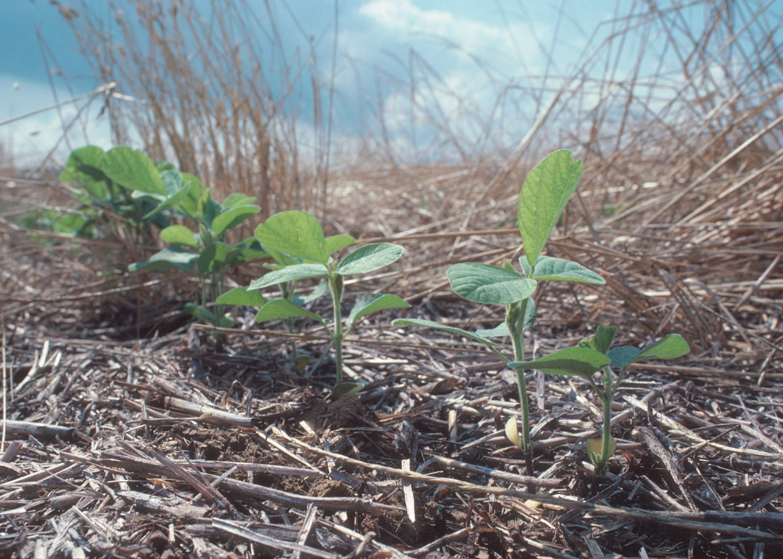
Photo credit: USDA-NRCS
No-till is a conservation practice that leaves the crop residue undisturbed from harvest through planting except for narrow strips that cause minimal soil disturbance. Crop residues are materials left in an agricultural field after the crop has been harvested. These residues include stalks and stubble (stems), leaves and seed pods.
Benefits of No-Till to Landowners and Producers
Good management of field residues can increase efficiency of irrigation and control of erosion. No-till can be used for almost any crop in almost any soil and can save producers labor costs and fuel. It’s a sound investment for the environment and the farm.
In addition to energy efficiencies and cost savings, no-till has several environmental benefits. No-till increases the organic matter in the soil, making it more stable and helping prevent soil erosion. No-till reduces greenhouse gases because it requires less fuel and sequesters (stores) carbon in the soil. Other benefits of using no-till as part of a resource management system include:
- Increased earthworm populations that improve soil quality—an average of 540,000 earthworms per acre versus 285,000 in conventional tillage,
- Increased water infiltration—cutting evaporation and runoff by at least 70 percent,
- Reduced tilling time per acre—by as much as two-thirds,
- Improved wildlife habitat, and
- Optimized soil moisture, thereby, enhancing crop growth in dry periods or on droughty soils.
References
The above text includes excerpts from the following documents and resources:
1. United States Department of Agriculture – Natural Resources Conservation Service: Report on Conservation Practices that Save: Crop Residue Management (click here for more details).
Strip Cropping
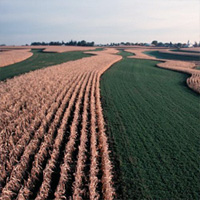
Photo credit: USDA-NRCS
Stripcropping is growing crops in a systematic arrangement of strips across the field to reduce soil erosion by water and/or wind. This practice is used on cropland and certain recreation and wildlife lands where field crops are grown. The crops are arranged so that a strip of grass or close-growing crop is alternated with a clean tilled strip or a strip with less protective cover. Generally the strip widths are equal across the field. On sloping land where sheet and rill erosion are a concern, the strips are laid out on the contour or across the general slope. Where wind erosion is a concern, the strips are laid out as close to perpendicular as possible to the prevailing erosive wind direction.
Benefits of Strip Cropping to Landowners and Producers
- Reduced sheet and rill erosion
- Reduced wind erosion
- Increased infiltration and available soil moisture
- Reduced dust emissions into the air
- Improved water quality
- Improved visual quality of the landscape
References
The above text includes excerpts from the following documents and resources:
1. United States Department of Agriculture – Natural Resources Conservation Service: Report on practice code 585 (click here for more details).
Cover Crops
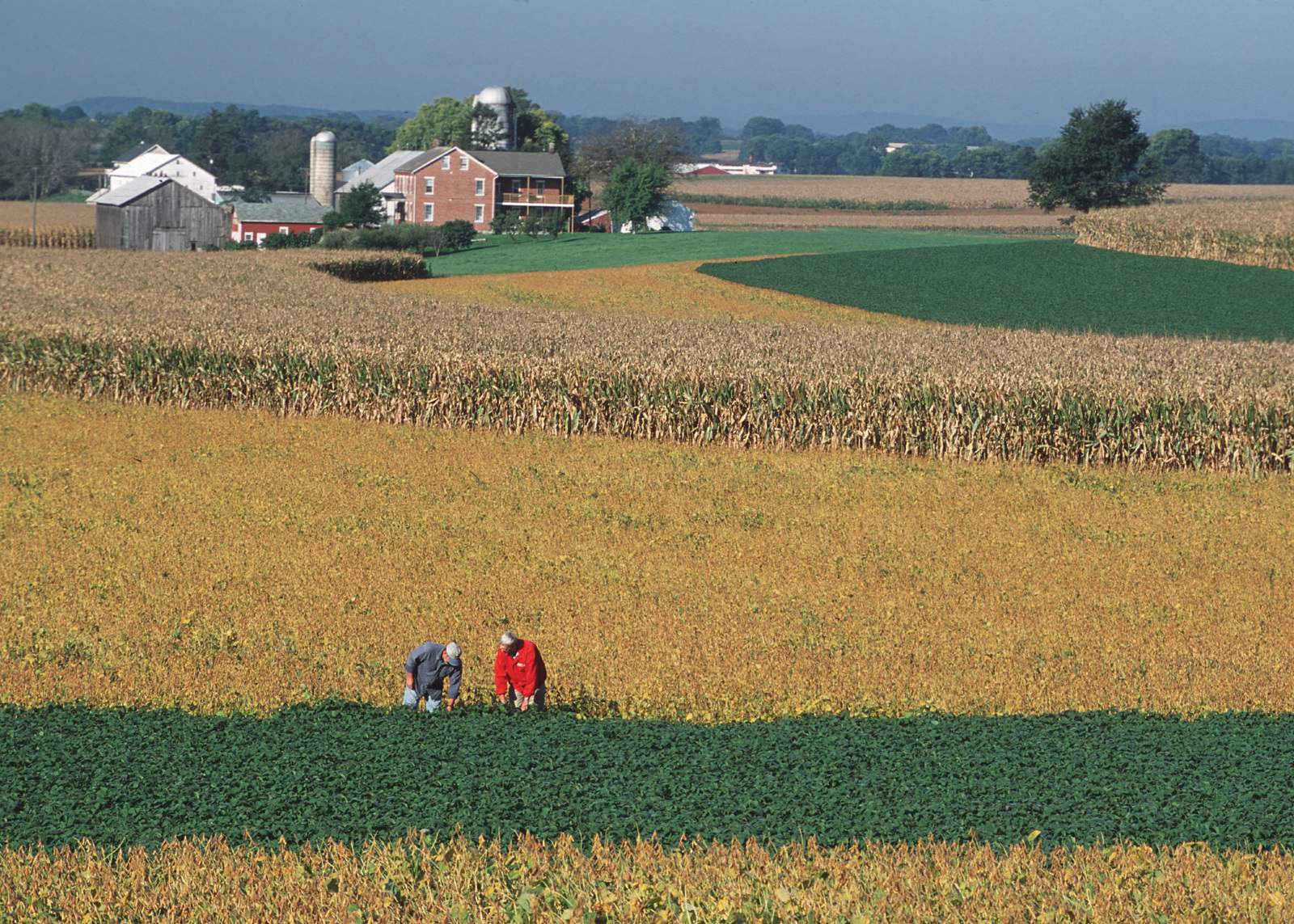
Photo credit: USDA-NRCS
Cover crops are an excellent option for producers to consider for protecting their soil and increasing productive capacity for succeeding years. Cover crops are grown between regular crop rotations like corn, soybean and wheat. Examples of cover crops are annual ryegrass, crimson clover, oats, oil-seed radishes, and cereal rye. A key concept is to ensure that vegetation is green and growing during all times of the year. Cover crops are essential during summer months when primary crops aren’t feasible (such as when crops are damaged and it’s too late for replanting) and during the fall/winter months following harvest. Cover crops are not intended as a harvestable crop, but are grown to enhance productivity.
Benefits of Cover Crops to Landowners and Producers
- improving soil structure by increasing soil organic matter and root penetration,
- protecting otherwise bare soil from wind and water erosion,
- using nitrogen left in the soil, thereby, preventing it from polluting waterways,
- cycling nutrients back into the soil that will be available for corn and soybean crops,
- increase biodiversity
- promote biological nitrogen fixation and reduce energy use, and
- suppress weeds.
References
The above text includes excerpts from the following documents and resources:
1. United States Department of Agriculture – Natural Resources Conservation Service: Report on practice code 340 (click here for more details).
2. United States Department of Agriculture – Natural Resources Conservation Service: Report on Cover Crops to Reclaim Soil Quality in Flood Damaged Fields (click here for more details).
3. Sustainable Agriculture Research and Education (SARE): Managing Cover Crops Profitably (click here for more details).
